


On Thursday, April 16, 2026, a working visit by Rafał Modrzewski, CEO of the Polish-Finnish company ICEYE, took place at the headquarters of Poland’s Armed Forces Operational Command (DO RSZ) in Warsaw’s Bemowo district, at 2 Radiowa Street.
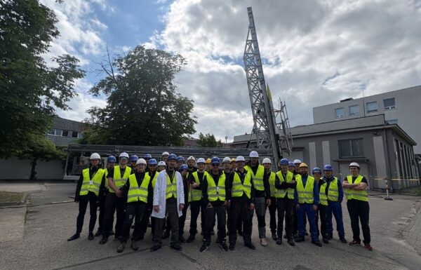
 Photo: warrant officer Piotr Gubernat, Combat Camera
The meeting had an operational character and focused on the practical use of satellite imagery in the planning and conduct of operations, particularly in the areas of reconnaissance, situational awareness building, and targeting. The solutions presented, based on the integration of multi-sensor data, enable continuous-operation capability and the rapid conversion of information into precise intelligence data.
The talks also covered the automation of data analysis using artificial intelligence (AI) algorithms, integration with C4ISTAR systems, and the potential application of a federated cooperation model in both national and allied environments. The visit formed part of efforts to build real operational capabilities, confirming the growing importance of the space domain as a key component of modern multidomain operations.
“Thank you very much for the open and substantive discussion. We must work together, shoulder to shoulder, for Poland’s security. We are taking action!” Rafał Modrzewski said on social media.
ICEYE, in a consortium with the Polish Armaments Group and Military Communications Works No. 1, is the supplier to the Polish Armed Forces of the MikroSAR Satellite Earth Observation System, which was recently given the name POLSARIS. The state-owned entities are delivering the Mobile Satellite Reconnaissance ISR Platform (MPRS ISR). The contract was concluded on May 14, 2025, and was worth approximately 860 million PLN gross.
The first of three SAR satellites, with an option for three more, was launched into space on November 28, 2025, as part of the Transporter-15 mission, and on December 8 ICEYE presented the first images of Poland taken by its instruments. Two more from the base order were launched on March 30 of this year as part of the Transporter-16 mission.
The Geospatial Intelligence and Satellite Services Agency (ARGUS) assumes that a total of three radar satellites will be launched into orbit this year, probably including one by June, while the final two under the MikroSAR program are scheduled for 2027.
Each POLSARIS satellite is equipped with a synthetic aperture radar (SAR), which sends short microwave pulses toward the Earth and then combines and processes their reflections to create detailed images with a resolution of up to 25 cm per pixel. SAR technology allows the satellite to “see” day and night, and microwave waves can penetrate clouds, smoke, and fog. This makes it possible to detect objects and changes in terrain with precision, regardless of the weather. Because radar satellites do not use visible light, the imagery is monochromatic. Resistance to atmospheric conditions and 24/7 imaging capability make SAR an ideal tool for military applications and crisis management.
Thanks to this, the Polish Armed Forces have gained advanced reconnaissance capabilities based on ICEYE radar satellites. The detailed specification of the system is classified.
Dziękuję bardzo za otwartą i konkretną rozmowę. Musimy pracować razem, ramię w ramię, dla bezpieczeństwa Polski. Działamy! https://t.co/CQZMHPFKyi
— Rafal Modrzewski (@rmodrzewski) April 16, 2026
See also: