




















On Tuesday, April 28, 2026, during the 46th Modern Day Marine 2026 (MDM) exhibition at MCB Quantico, Virginia, US company Teledyne FLIR Defense, part of Teledyne Technologies Incorporated, announced the expansion of its Third-Party Payload Integration Program to include the certification of Emesent’s Hovermap LiDAR (Light Detection and Ranging) laser-radar sensor with unmanned aerial and ground systems.
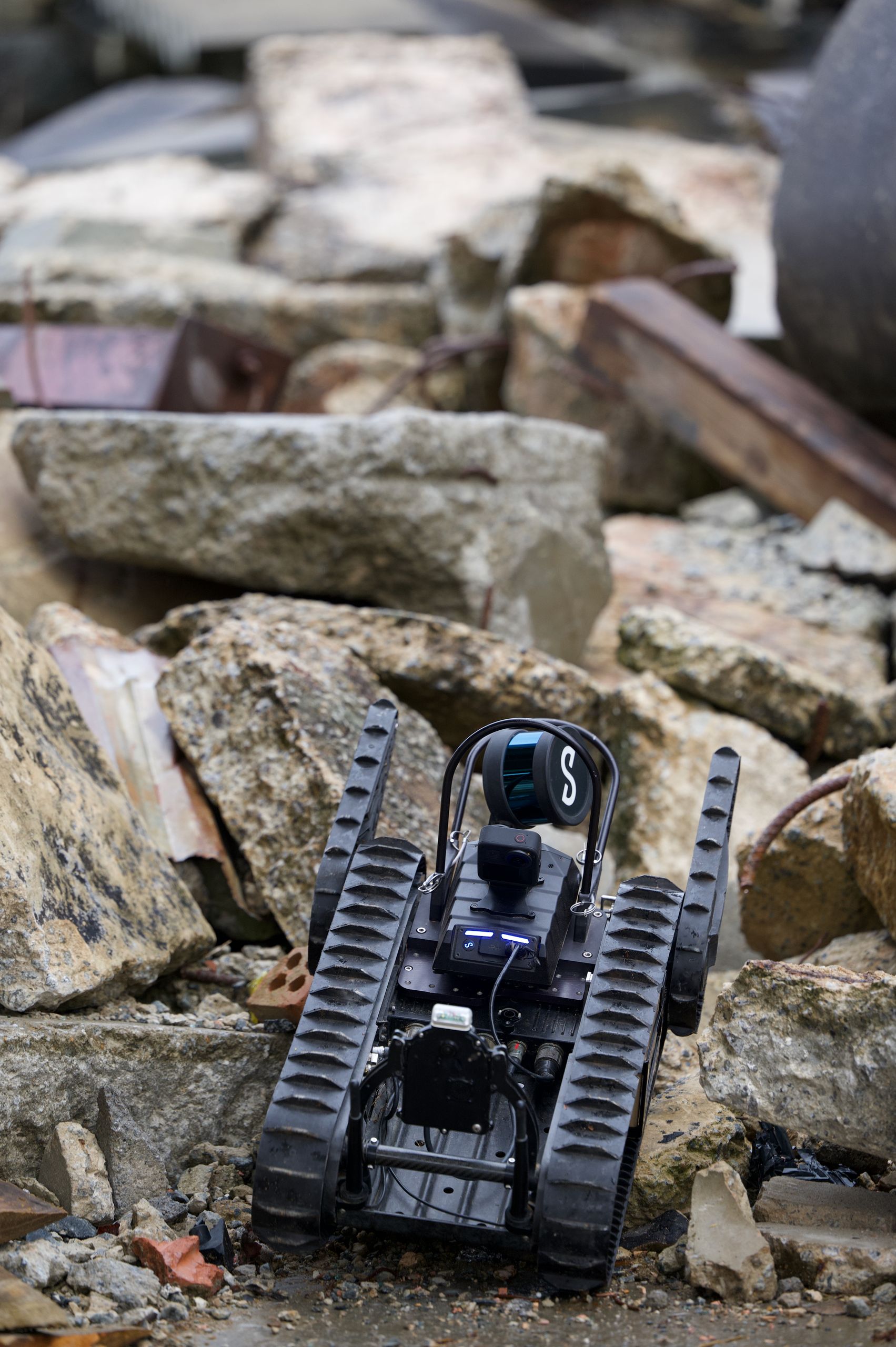
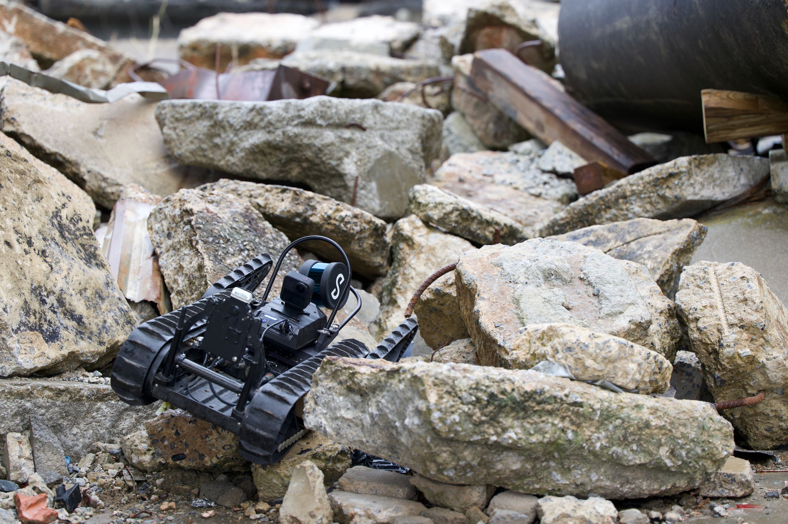
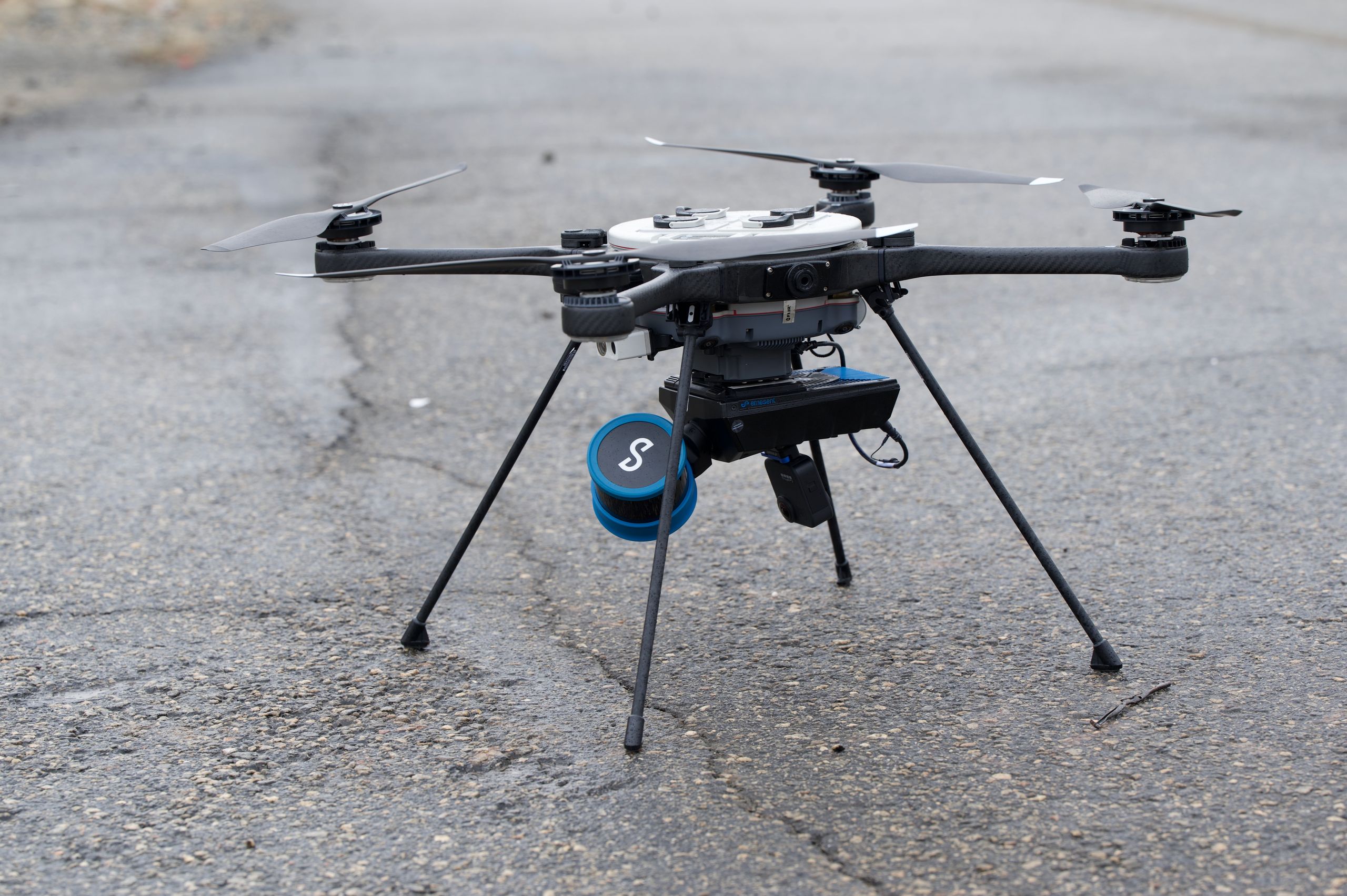
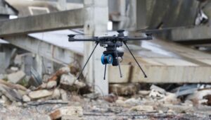
Photos: Teledyne FLIR Defense
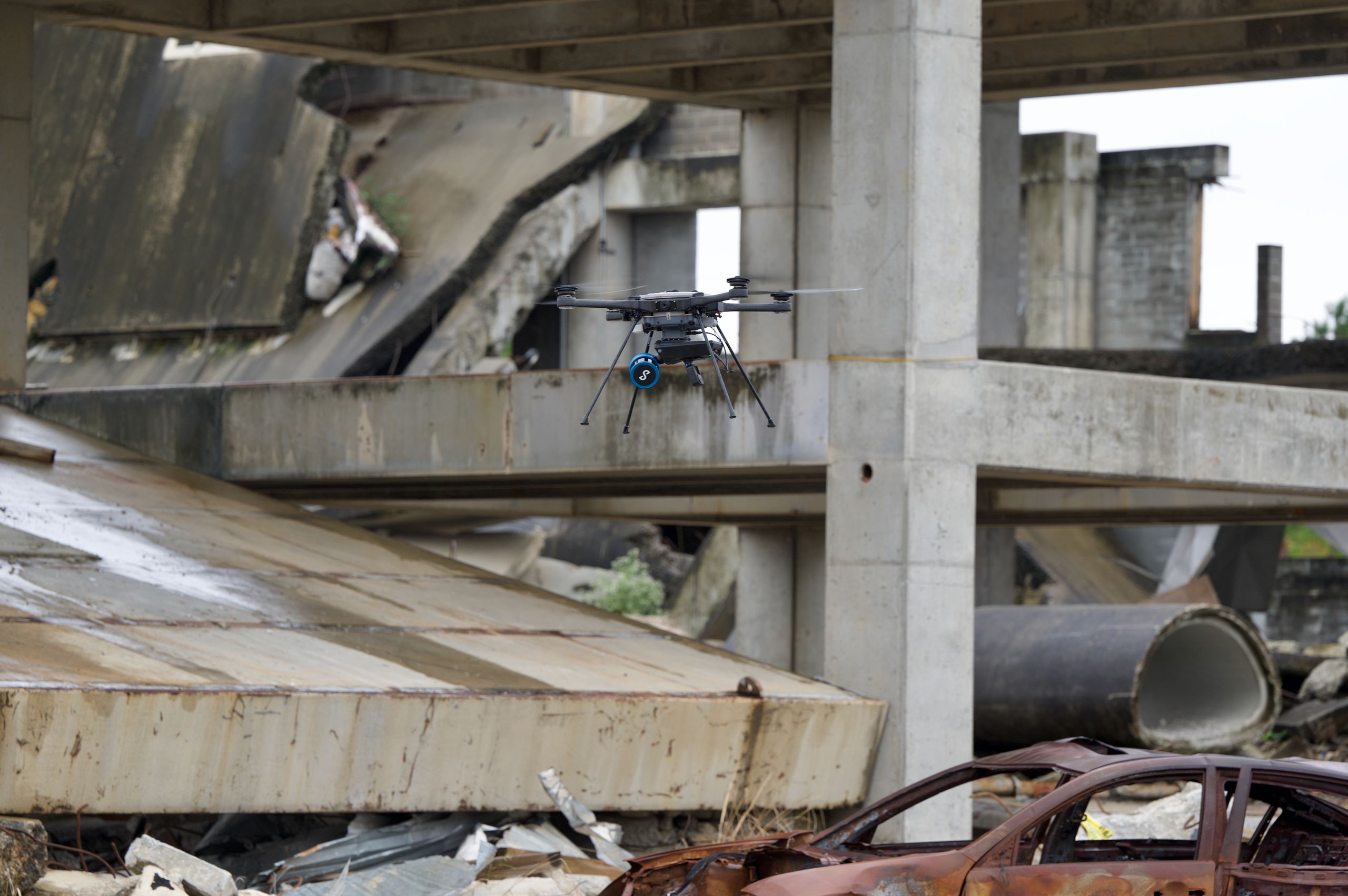
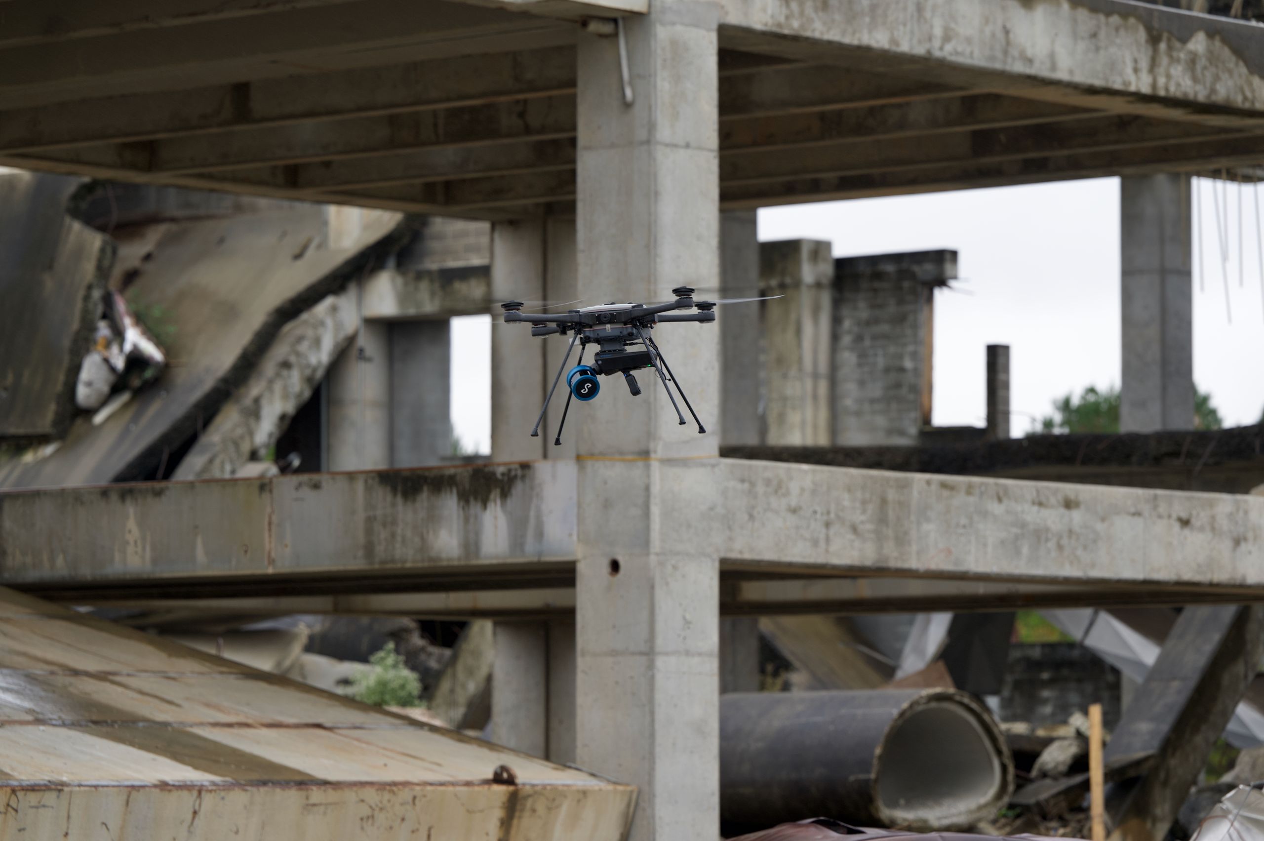
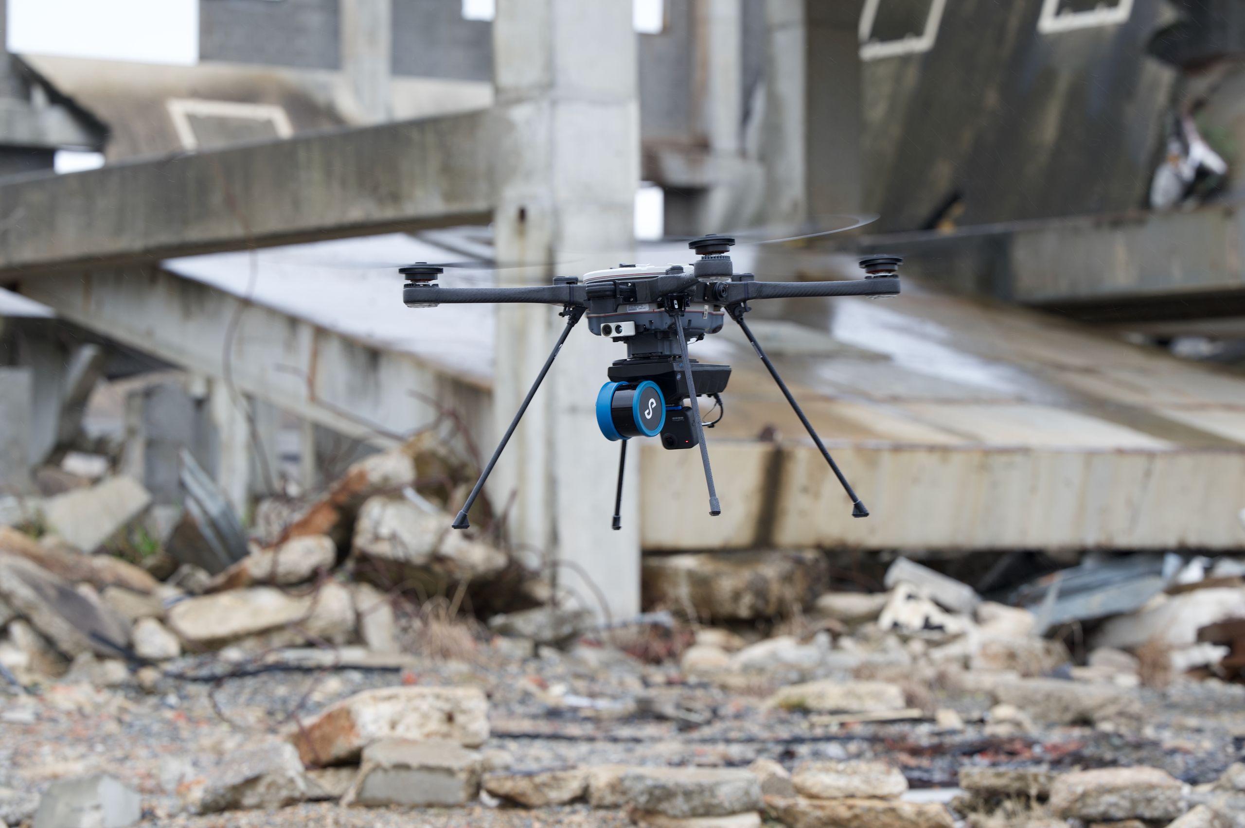
The agreement will enable Emesent to create 3D maps without a GPS signal using Teledyne FLIR unmanned aerial systems, ground robots, and radiation-detection platforms.
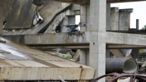
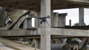
The combination of Emesent and Teledyne FLIR technologies addresses the problem of GPS-denied connectivity in the air and ground domains, where unmanned systems may lose satellite connectivity in typical operating areas such as tunnels, urban structures, and areas contaminated by weapons of mass destruction (CBRN). Using Simultaneous Localization and Mapping (SLAM) technology based on LiDAR, the Emesent Hovermap payload generates accurate 3D maps without a GPS signal or external infrastructure.
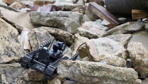
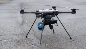
On Teledyne FLIR’s SkyRanger R70 and R80D SkyRaider unmanned aerial system platforms, Hovermap LiDAR enables mapping even in GPS-denied environments. Mounted on the company’s SUGV 325 ground robot, Hovermap LiDAR provides users with a continuous, three-dimensional view of complex enclosed environments, streamed in real time. Integrated with Teledyne FLIR’s MUVE R430 radiation detection module installed on the SUGV, Hovermap allows operators to see not only where the robot has been, but also where radiation levels are elevated, giving CBRN teams an immediate georeferenced view of the threat.
“Knowing the shape of a space is powerful. Knowing where the radiation is within that space, in real time, without putting a person in harm’s way, is an operational game-changer,” said Stefan Hrabar, co-founder and chief strategy officer at Emesent. “Our partnership with Teledyne FLIR Defense brings together GPS-denied mapping and radiation detection in a way that directly addresses what CBRN operators need in the field.”
“Teledyne FLIR builds platforms trusted for the most demanding CBRN missions in the world,” said Tung Ng, vice president of Unmanned Systems North America for Teledyne FLIR Defense. “Working with Emesent, we’ll be able to give operators a fused, spatial picture of the threat environment they simply haven’t had access to before.”
“This is the direction the whole field is heading in, and we’re delivering it now through certified third-party payloads like Hovermap,” Ng added.
Emesent’s Hovermap LiDAR represents the company’s success in leveraging Teledyne FLIR Defense’s open-architecture development ecosystem and partner collaboration model. Certified payloads are evaluated for mechanical fit, electrical interface, software compatibility, and in-flight performance, giving customers confidence that mission-tailored capabilities offered by a growing partner ecosystem are aligned with their needs.
The partnership also creates the technical foundation for future capability development. Both companies are actively developing autonomous navigation capabilities and expanding multisensor fusion beyond radiation detection to include additional CBRN threat-detection modes.
The integrated systems from both companies are being presented at Teledyne FLIR Defense’s booth No. 1724 during Modern Day Marine 2026, which is taking place on April 28–30 at Marine Corps Base Quantico.
Teledyne FLIR Defense Grows Third-Party Payload Integration Program, Adds Emesent Hovermap LiDAR for Unmanned Air, Ground, and Detection Platforms
See press release for details …https://t.co/rsYS3jdi0o#robots #drones #LiDAR pic.twitter.com/2u3g7ZOawl
— Teledyne FLIR (@flir) April 28, 2026
See also:
